GIS

What have we done?
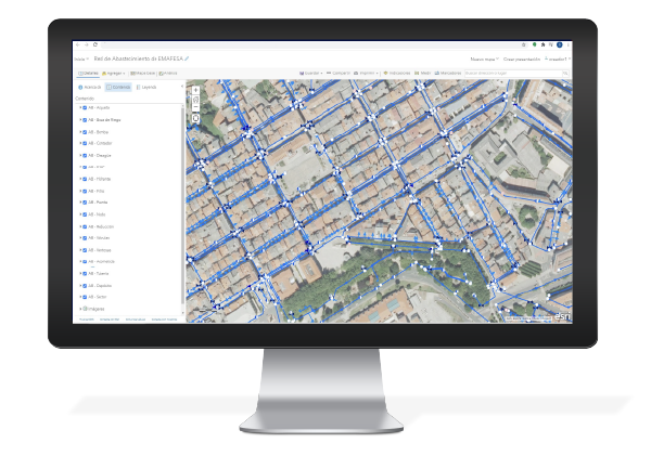
The purpose of the project was to develop a Geographic Information System to make the network information available. To that end, the data were migrated to a GIS environment for their maintenance, use and publication on a web map viewer.

What have we contributed?
- To define a Supply and Drainage data model.
- To prepare an ESRI GeoDataBase for dumping the data.
- To develop a loading process in PostgreSQL/PostGIS.
- Publication of an ArcGIS Online viewer with GeoServer layers.
- Creation of a viewer with ArcGIS Online with the GeoServer layers.
Technological environment:
Image
Image
Image
Image